Driving Distances and Directions
To Aspen Grove Trail Head – starting at entrance of Provo Canyon (Orem 8th N and 189) on 189 go 7 miles and turn left on 92 towards Sundance. Go 6 miles to Aspen Grove Trail Head parking lot just beyond toll booth.From Aspen Grove Trail Head to Timpooneke Trail Head – go 5.7 miles on 92 and turn off at Timpanooke and go about 0.5 miles.To Timpooneke Trail Head – from I-15 go on AF turnoff SR92 and go 15.7 miles to Timpooneke (or 8.1 miles from entrance to canyon at intersection of SR92 and 146) and then about 0.5 miles to trial head.
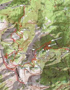
Map of the Timpanogos Area
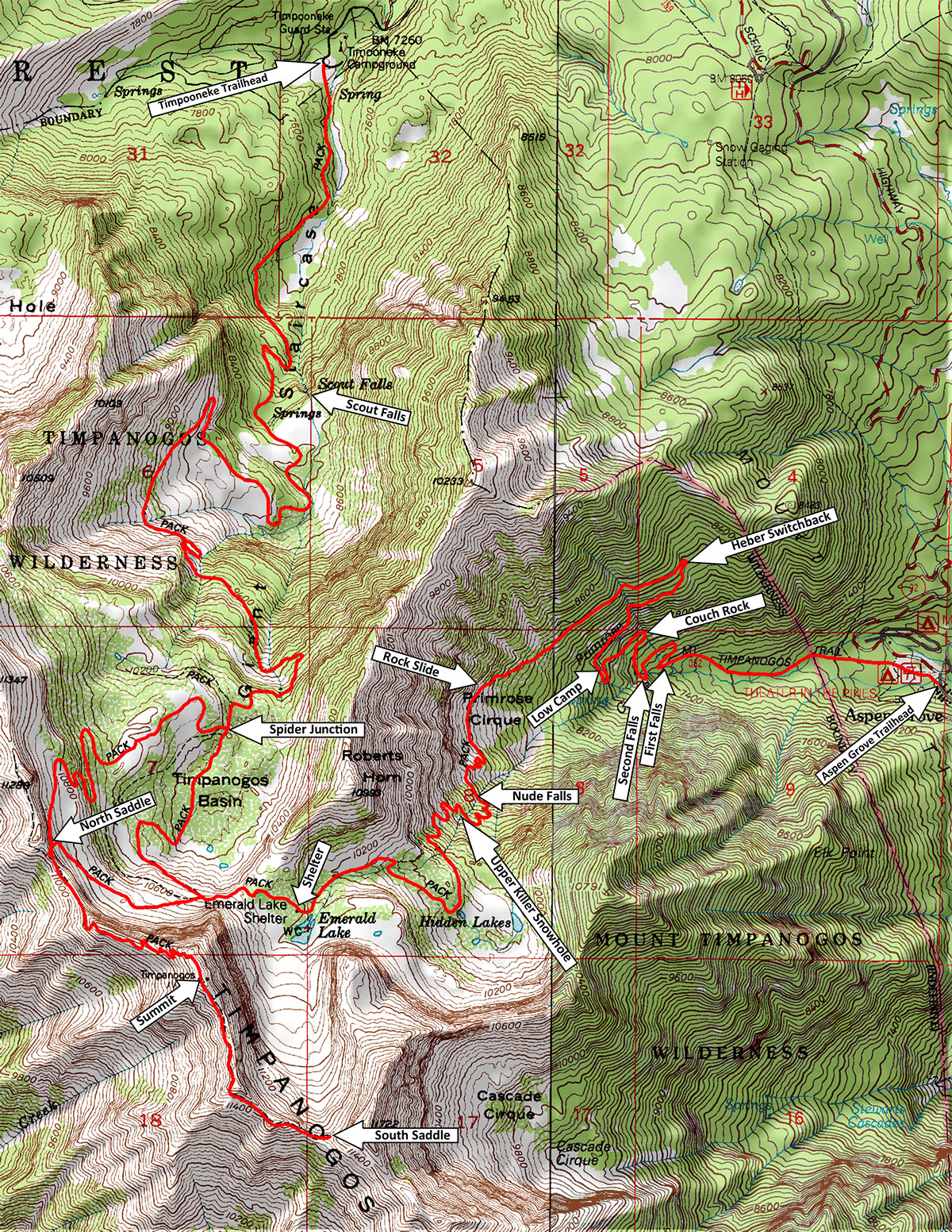
Timpanogos Topo Map
High Res Topo Map
Distances and Elevations of Points of Interest
From Aspen Grove Side
|
| Aspen Grove Parking Lot |
6,850 ft. |
0.0 mi |
| First Falls |
7,480 ft. |
1.1 mi. |
| Cardiac/Couch Rock |
7,540 ft. |
1.7 mi. |
| Low Camp (old) |
8,000 ft. |
2.05 mi. |
| Primrose Cirque (large rock fall) |
8780 ft. |
. |
| Nude Falls |
|
|
| Hidden Lake |
9,840 ft. |
. |
| High Camp |
10,000 ft. |
|
| Emerald Lake |
10,340 ft. |
|
| North Trail Saddle |
11,000 ft. |
|
| Snowfield Saddle |
11,280 ft. |
|
| Summit |
11,750 ft. |
7.2 mi. |
| Timpooneke Trailhead |
7,320 ft. |
14.3 mi. |
|
|
From Timpooneke Parking Lot
|
| Timpooneke Parking Lot |
7,320 ft. |
0.0 mi. |
| Scout Falls |
|
1.75 mi. |
| Beginning of Stony Switchback |
|
2.9 mi. |
| Nasty Mote |
|
3.8 mi. |
| Spider Junction |
|
5.1 mi.. |
| Keyhole |
|
6.3 mi. |
| Summit |
11,750 ft. |
7.1 mi |
| Emerald Lake |
10,340 ft. |
|
| Aspen Grove Trail Head |
6,850 ft. |
14.3 mi. |
|
|
B-25 Wreckage
Engine: 40 24′ 25″ W 111 39′ 23″
Second engine: N 40 24′ 26″ W 111 39′ 19″
Description of the route can be found at: Climb Utah
Thanks to Andrew Barney (Aug 2006)